
Geology
The Beardmore-Geraldton Greenstone Belt (BGGB) has produced about 4.1 million ounces of gold and retains gold resources of several million ounces. The BGGB in the area of the Project is located along the boundary between the Wabigoon and Quetico sub-provinces in the Superior province of the Canadian Shield. These boundaries are often major fault breaks, which can host large gold resources as is found further to the east in the Abitibi Greenstone Belt. Targeting on the Oakes Project and in the belt has focused on the steeply dipping, brittle-ductile shear zones which can comprise various lithologies, metamorphic grades, and alteration styles. The shear zones at Oakes typically strike east-west along the boundary or parallel to the BGGB similar to other past producers and identified gold resources in the area.
The host rock in the project area comprises Archean-aged, meta-volcanics known as the northern volcanic panel part of the larger BGGB and is located where the panel appears to wrap northward around the Croll Lake Stock similar to structural styles of Abitibi gold camps in Eastern Ontario. Specifically, the bedrock comprises a suite of felsic, intermediate and mafic volcanics with gabbroic sills. Volcanic rock types include rhyolitic and andesitic flows, tuffs and breccias, chert, iron formation, minor metasedimentary and intrusive rocks. The more mafic units include basaltic and andesitic flows, tuffs and pillow basalts. The Croll Lake Stock comprises diorite through to granodiorite and syenite. The youngest bedrock includes the northwest trending diabase dikes which are noted throughout the property and region. The metamorphosed mineralized zones are marked by silicification and sulphide mineralization including pyrite, pyrrhotite, galena and arsenopyrite found along contact zones or cross-cutting structures. These mineralized contact zones have been defined by past VLF/Mag surveys complimented and further refined more recently (2008) by follow-up IP surveys and confirmed by trenching in 2010.
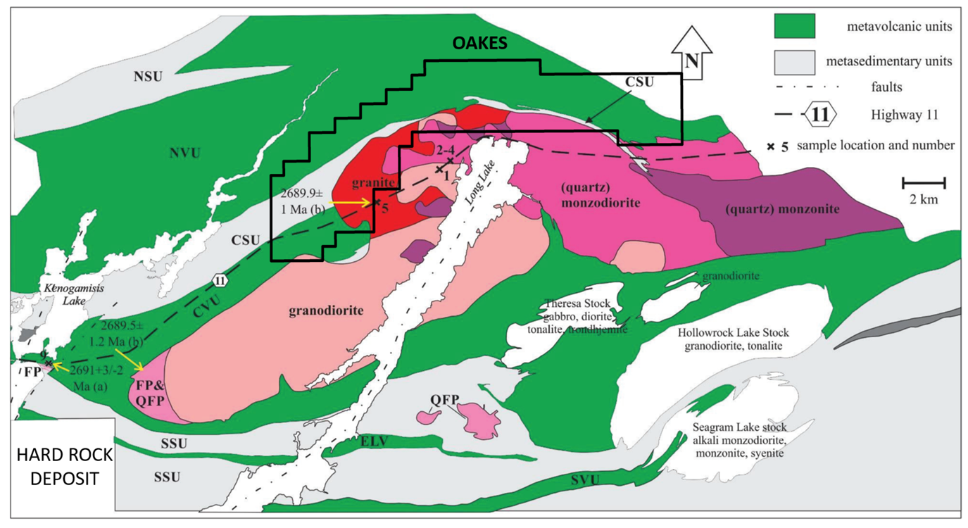
Figure 10: Geology at the Oakes District